Iris#
A powerful, format-agnostic, community-driven Python package for analysing and visualising Earth science data.
Iris implements a data model based on the CF conventions giving you a powerful, format-agnostic interface for working with your data. It excels when working with multi-dimensional Earth Science data, where tabular representations become unwieldy and inefficient.
For more information see Why Iris.
Installing and gallery examples.
Learn how to use Iris.
Contribute to Iris as a developer.
Iris functionality by module.
Recent changes in Iris.
Raise the profile of issues by voting.
Icons made by FreePik from Flaticon
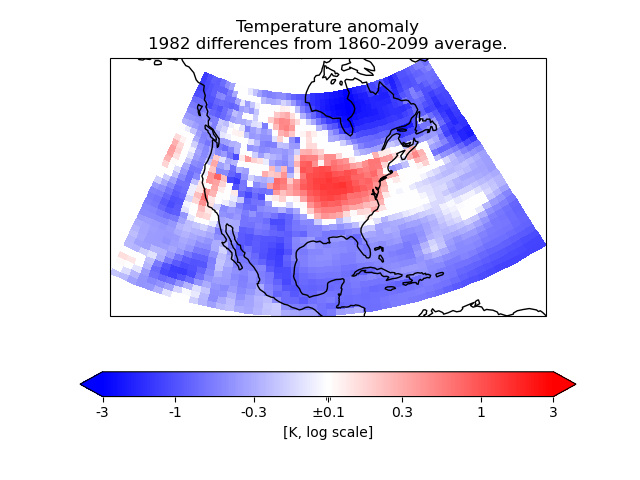
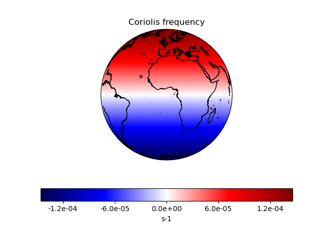
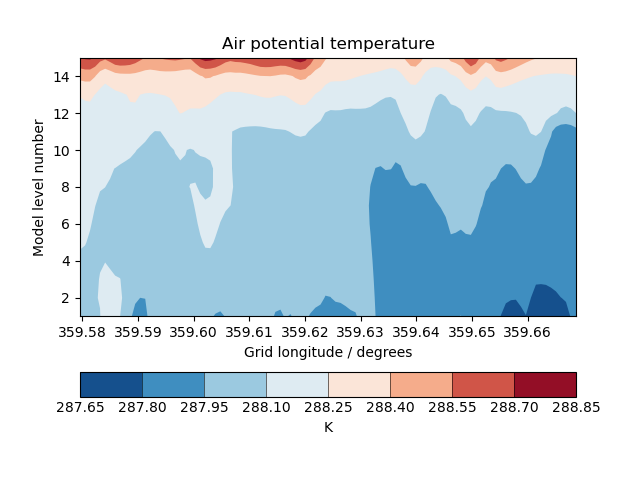
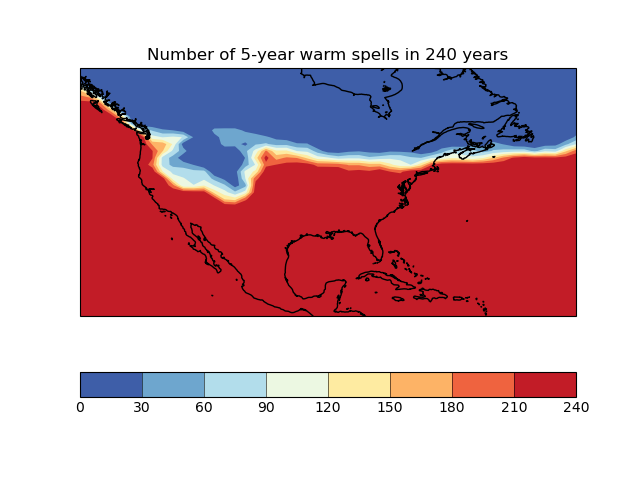
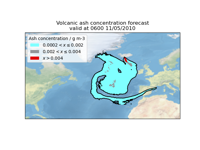
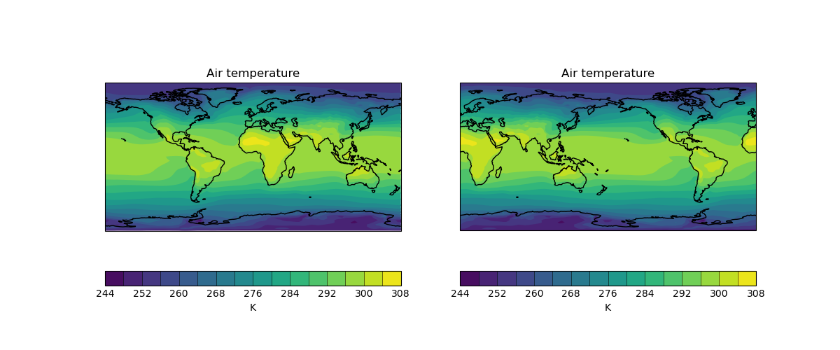
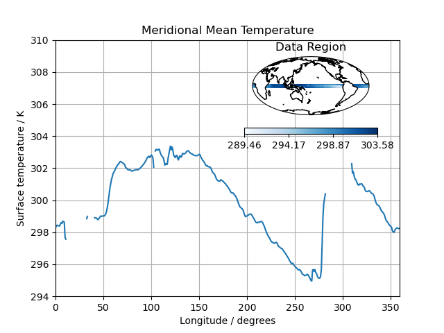
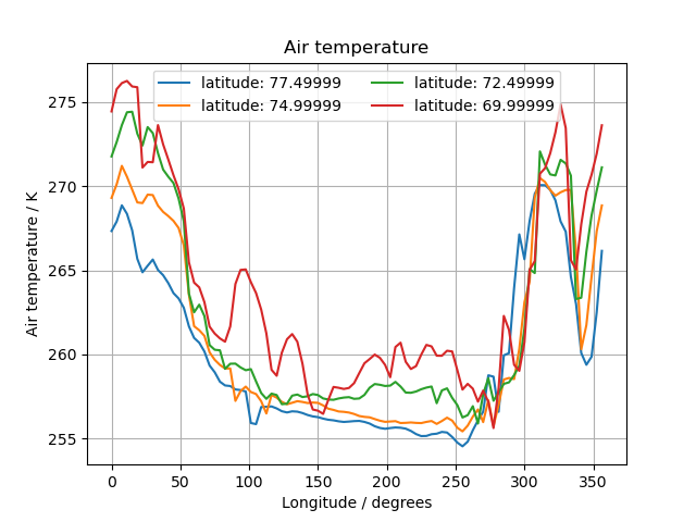
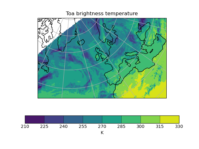
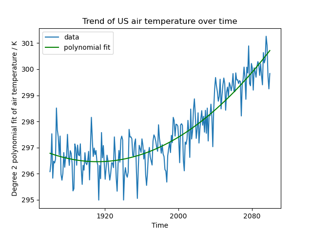
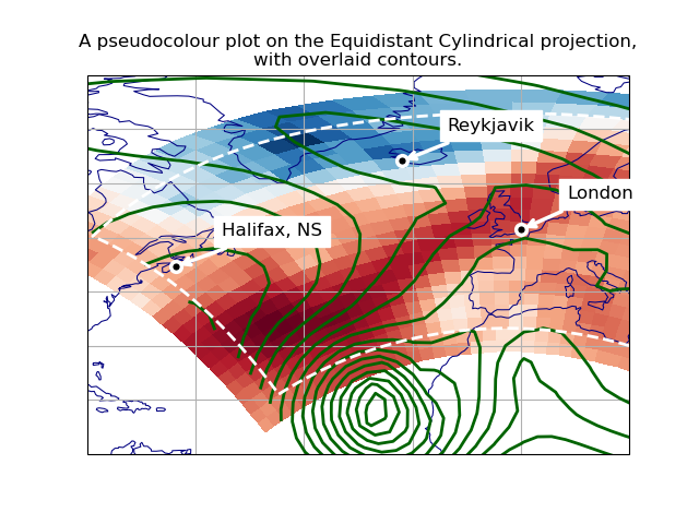
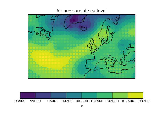
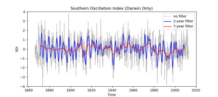
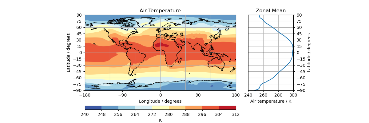
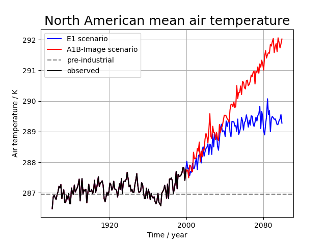
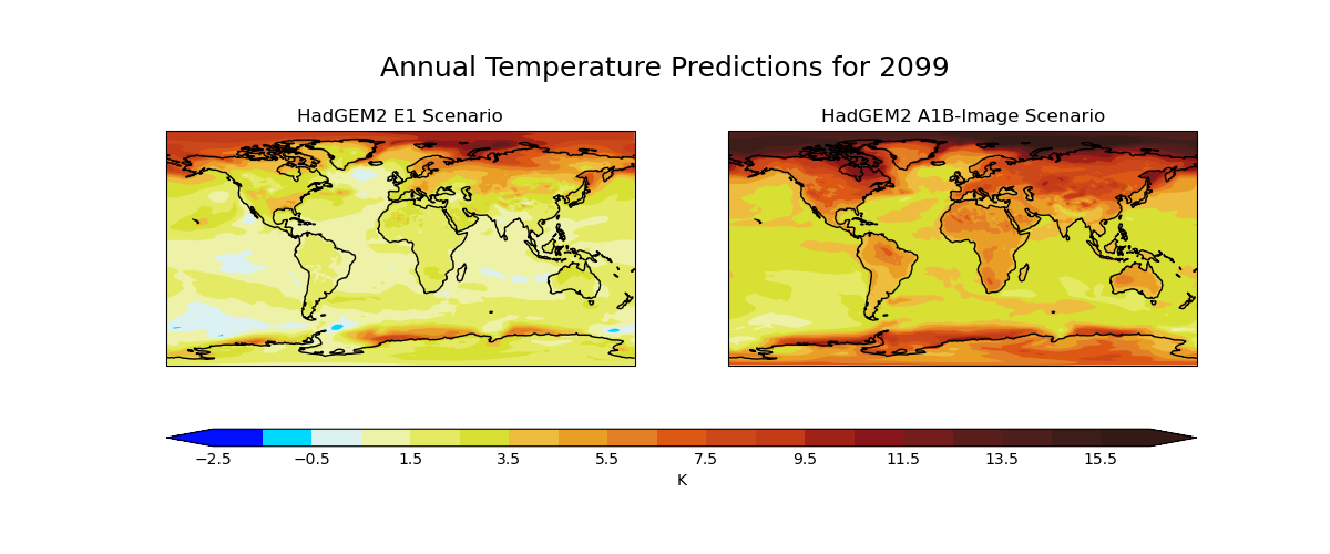
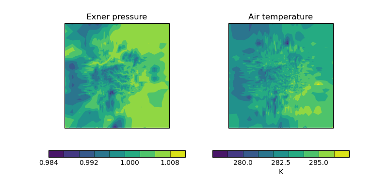
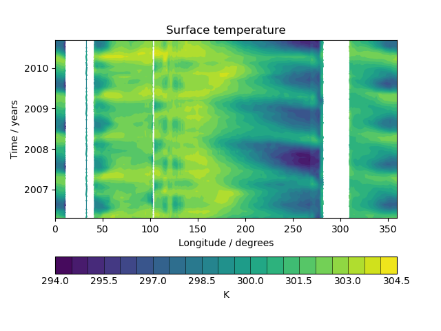
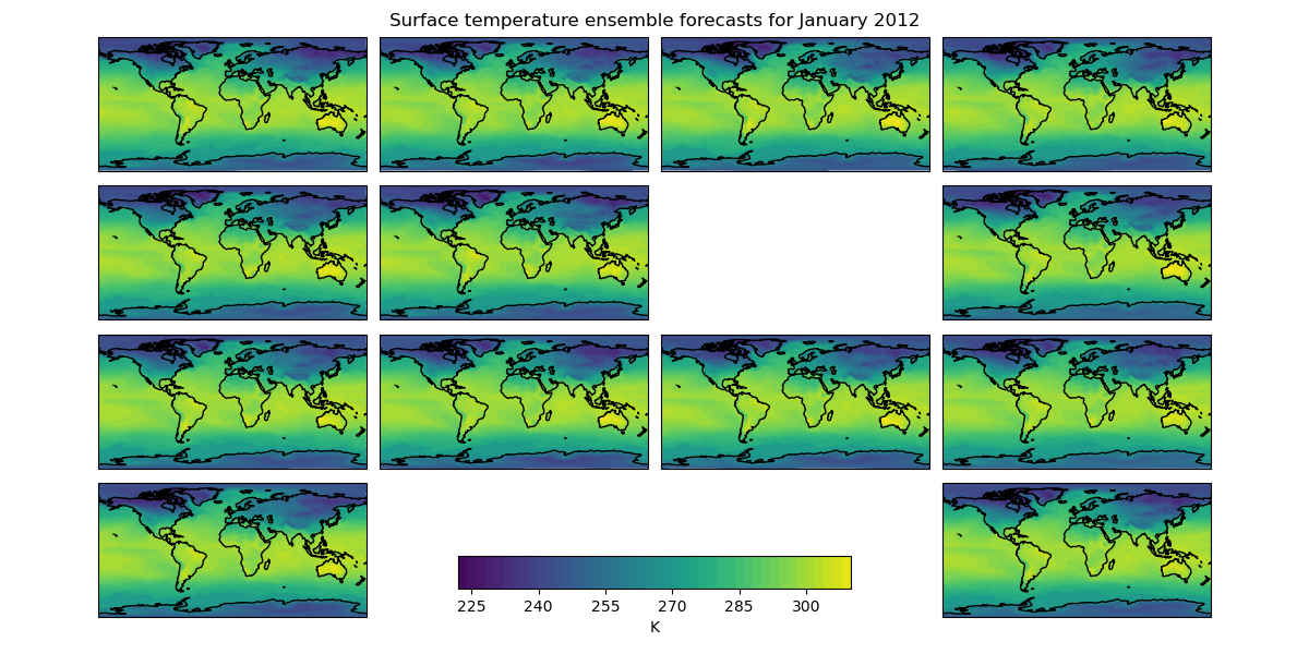
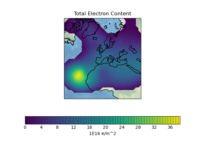
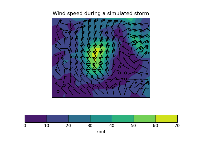
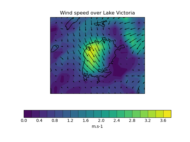
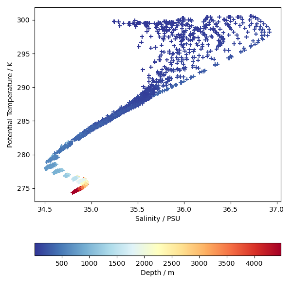
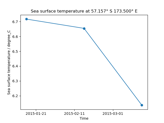
Gallery Carousel
Support#
We, the Iris developers have adopted GitHub Discussions to capture any discussions or support questions related to Iris.
See also StackOverflow for “How Do I? that may be useful but we do not actively monitor this.
The legacy support resources:
Legacy Documentation (Iris 2.4 or earlier). This is an archive of zip files of past documentation. You can download, unzip and view the documentation locally (index.html). There may be some incorrect rendering and older javascvript (.js) files may show a warning when uncompressing, in which case we suggest you use a different unzip tool.